


Delivered Unmanned Aircraft Vehicles (UAV) for the aerial mapping system of the Royal Irrigation Department
On September 1, 2023, our Surveying Instruments Division delivered Unmanned Aircraft Vehicles (UAV) for the aerial mapping system of the Royal Irrigation Department. The aim of this project is for aerial mapping with high accuracy and resolution to support water resource development strategies, increase irrigation area, and increase the efficiency of water management integration.
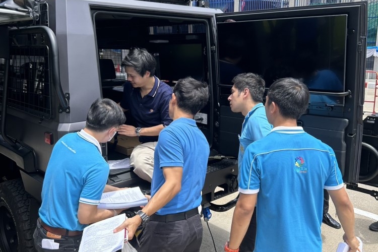
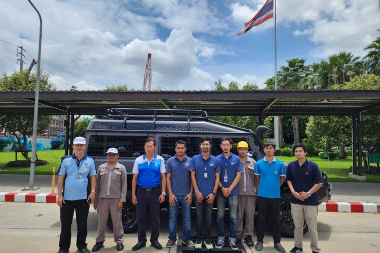
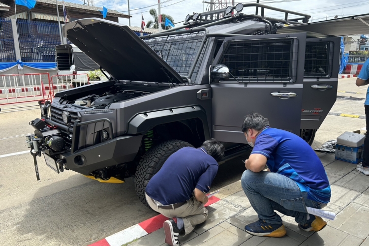
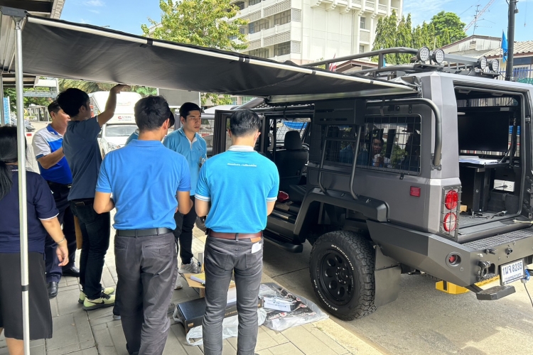
The system contained a functional 4WD SUV with a modified operation center inside the car. This operation room allows users to process the high-quality aerial images from WingtraOne Gen II by using the powerful workstation. On the side of the car, there is a monitor for users to do the on-site presentation immediately after the orthophoto is done.
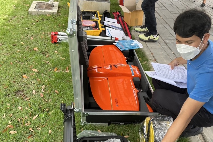
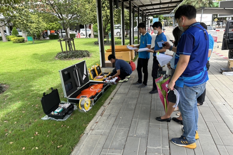
Using a fixed-wing VTOL UAV, WingtraOne Gen II, to do the aerial mapping is better than using a multi-rotor. WingtraOne gets a larger coverage area in one flight. With the maximum speed of 16 m/s, WingtraOne minimizes your time flying and helps you get more work done accurately.
The system contained a functional 4WD SUV with a modified operation center inside the car. This operation room allows users to process the high-quality aerial images from WingtraOne Gen II by using the powerful workstation. On the side of the car, there is a monitor for users to do the on-site presentation immediately after the orthophoto is done.
Using a fixed-wing VTOL UAV, WingtraOne Gen II, to do the aerial mapping is better than using a multi-rotor. WingtraOne gets a larger coverage area in one flight. With the maximum speed of 16 m/s, WingtraOne minimizes your time flying and helps you get more work done accurately.