


Provided a 2-day Trimble R12i GNSS training course to the Department of Highways
Our Surveying Instruments Division provided a 2-day Trimble R12i GNSS training course to the Department of Highways. The aim of using GNSS is to create a precise ground control point, stake out, and collect topographic and road surveys with accuracy according to international standards set by the Department of Highways.
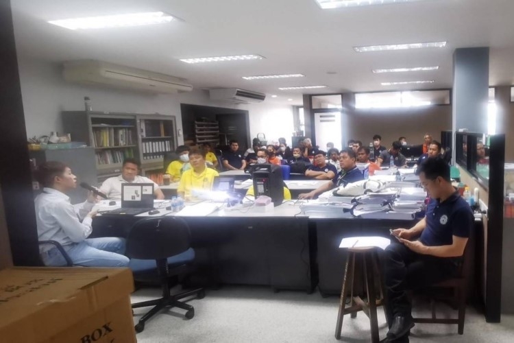
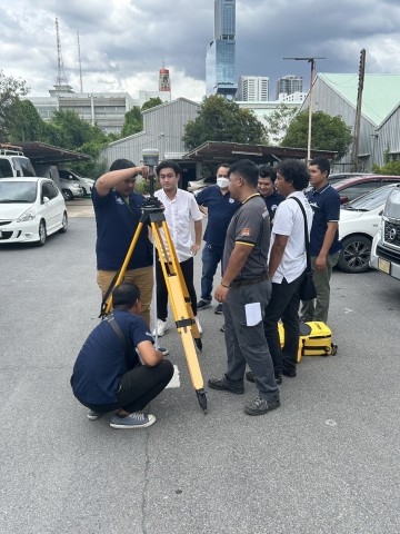
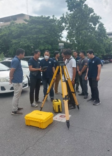
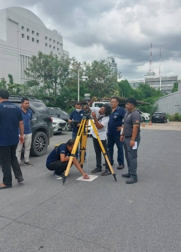
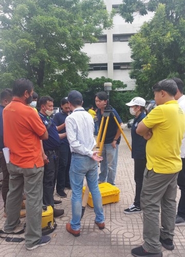
On the first day, our product specialist started the training course with a theoretical session on the basis and fundamentals of GNSS surveying, parts of the Trimble R12i, how to choose a base station location, work planning, and baseline network design before doing the field training. In the afternoon, our trainers let the DOH officers do the three ground control points by using static mode in the field. This network was a good example for baseline processing and network adjustment in the next training session.
On the second day, we started with a field session in RTK mode in the morning. It seems that collecting topographic surveying data has never been this easy before since the Trimble R12i integrated the IMU tilt sensor inside. They could tilt the pole in challenging areas such as the corner of the building, under the tree, or canopy but still get an accurate position. For road surveying, the offset function from the centerline was very popular and useful. Trimble Access in the controller allowed them to use it easily. In the afternoon, our product specialist showed how to export the field data to check and process in the Trimble Business Center Software. The program can process baselines, generate reports, and export the show on Google Earth precisely. We are happy to know that the Trimble R12i can be their best assistance for them to achieve their project mission faster and more effortlessly.