


GNSS Training Course at the Civil Engineering Department, Faculty of Engineering, Naresuan University
It has been an honor for our Surveying Division to be invited to be the lecturer for the GNSS Technology Surveying Training Course at the Civil Engineering Department, Faculty of Engineering, Naresuan University, in February 2024.
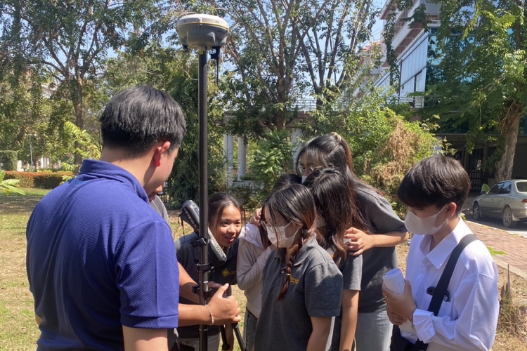
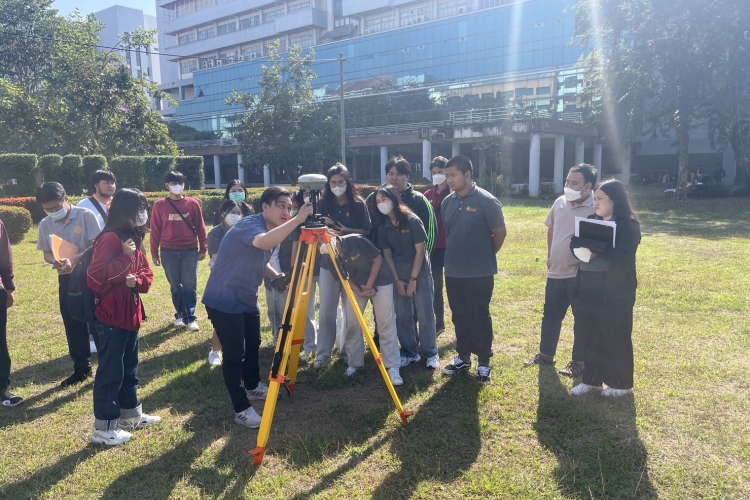
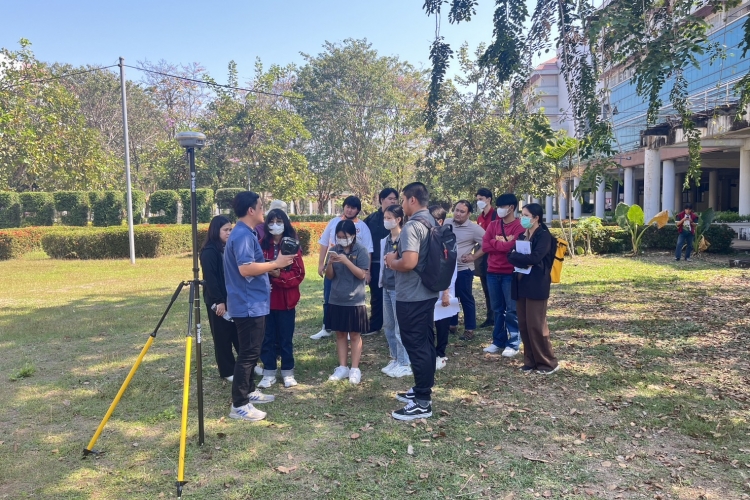
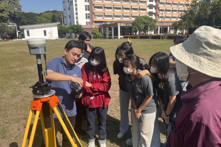
Our lecturer started with the GNSS fundamental and GNSS network design for control points generated from static surveying before hands-on sessions in the field. We used the Trimble R10 and R8s to collect the data that would be to do the baseline processing and network adjustment practice session.
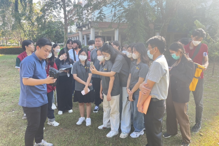
The next session was the Real-Time Kinematic (RTK) field practice used for topographic surveying such as building layouts, roads, trees, manholes, etc. in centimeter-level accuracy with just a few seconds.
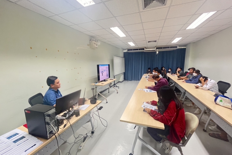
The last topic of course was the processing in Trimble Business Center (TBC) from static and RTK methods in the previous session starting with baseline processing, session editor, GNSS loop closure, network adjustment, and generating contour and 3D view. GNSS technology helps surveyors collect geospatial data faster, more conveniently, and more accurately.
Our lecturer started with the GNSS fundamental and GNSS network design for control points generated from static surveying before hands-on sessions in the field. We used the Trimble R10 and R8s to collect the data that would be to do the baseline processing and network adjustment practice session.
The next session was the Real-Time Kinematic (RTK) field practice used for topographic surveying such as building layouts, roads, trees, manholes, etc. in centimeter-level accuracy with just a few seconds.
The last topic of course was the processing in Trimble Business Center (TBC) from static and RTK methods in the previous session starting with baseline processing, session editor, GNSS loop closure, network adjustment, and generating contour and 3D view. GNSS technology helps surveyors collect geospatial data faster, more conveniently, and more accurately.