


Road maintenance and Mobile Mapping System
Road maintenance is a task that needs to be done regularly. Using total station and GNSS is very accurate for positioning, but it takes a lot of time and labor to collect data for each road over long distances.
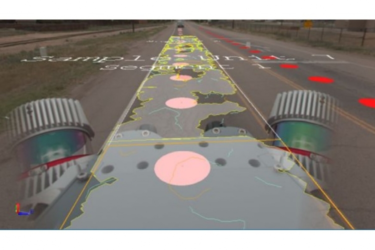
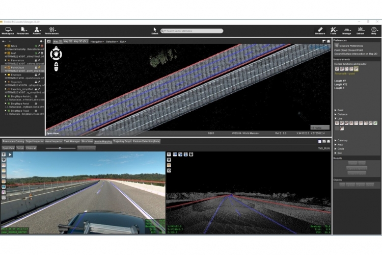
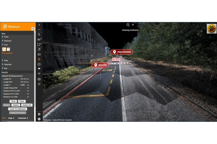
The Mobile Mapping System (MMS) uses Lidar Technology, Laser Scan, and 360° camera for data collection on cracks, flatness, potholes, signs, color marks, electric poles, cables, and other road assets. Trimble offers three models of MMS – MX7, MX50, and the latest model, MX90, released in 2024. The MX90 combines three technologies in one system, making it the best choice for road survey and maintenance. Trimble also provides powerful software for data analysis and management, reducing time and labor while delivering more accurate real-world data.
You can find additional information about the Trimble MMS System at https://geospatial.trimble.com/en/products/hardware/mobile-mapping.