


Join the Unmanned Aerial Vehicle (UAV) workshop for aerial mapping and multi-channel GNSS for Forest and Land Management Office at Saraburi
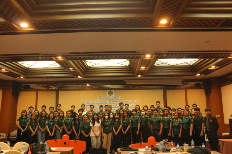
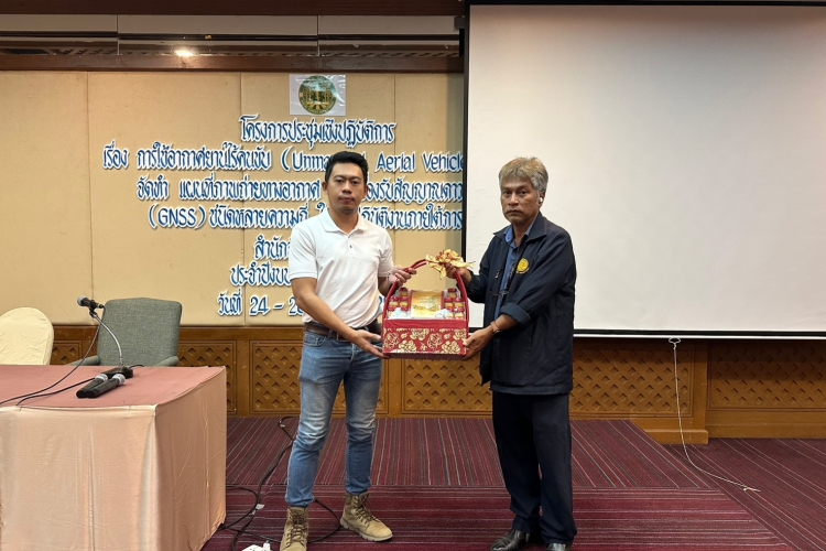
It was an honor for our Surveying Division to be invited to join the Unmanned Aerial Vehicle (UAV) workshop for aerial mapping and multi-channel GNSS as instructors under the mission of the Forest and Land Management Office at Sir James Resort, Mittraphap Road, Muaklek, Saraburi.
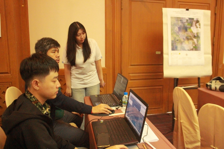
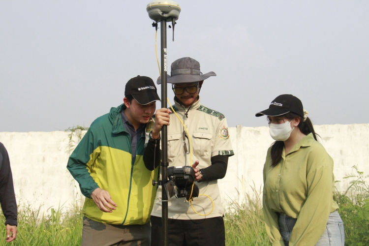
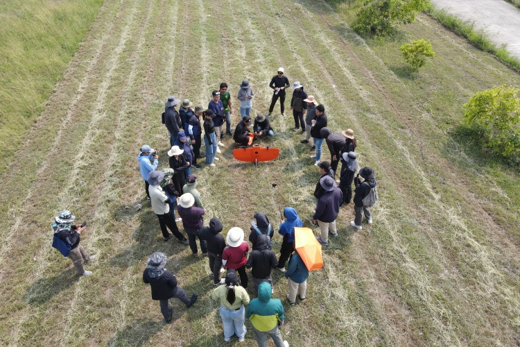
Our instructors explained the workflow between Trimble GNSS and VTOL UAV - Wingtra for aerial mapping using the Post Processed Kinematic (PPK) method, starting from creating flight plans in WingtraHub to collecting and processing GNSS static surveys in Trimble Access and Trimble Business Center. Furthermore, the participants wanted to know how far our GNSS can transmit the RTK correction signal from the Base Station to the Rover Station. Testing provided the best answer, with a result of 3.5 kilometers (which is not the maximum distance). The test assured the participants that our equipment will help them complete their work efficiently and professionally.
Our instructors explained the workflow between Trimble GNSS and VTOL UAV - Wingtra for aerial mapping using the Post Processed Kinematic (PPK) method, starting from creating flight plans in WingtraHub to collecting and processing GNSS static surveys in Trimble Access and Trimble Business Center. Furthermore, the participants wanted to know how far our GNSS can transmit the RTK correction signal from the Base Station to the Rover Station. Testing provided the best answer, with a result of 3.5 kilometers (which is not the maximum distance). The test assured the participants that our equipment will help them complete their work efficiently and professionally.