


Is GCP necessary for drone and UAV aerial mapping?
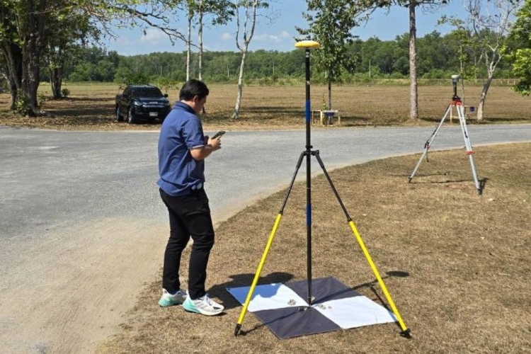
Ground Control Point (GCP) is used to adjust and fix the aerial image to make positioning more accurate. GCP must be used to be visible from the top view such as road cuts. Users can manually place the black & white target panels spread out all over the flying area for taking images. Then surveyors collect the coordinates by using a Real-Time Kinematic (RTK) GNSS receiver which is the popular method. RTK GNSS can provide high-accuracy coordinates at the centimeter level. It takes only a few minutes to collect each point. After that, we bring the GCP coordinates to process in the program.
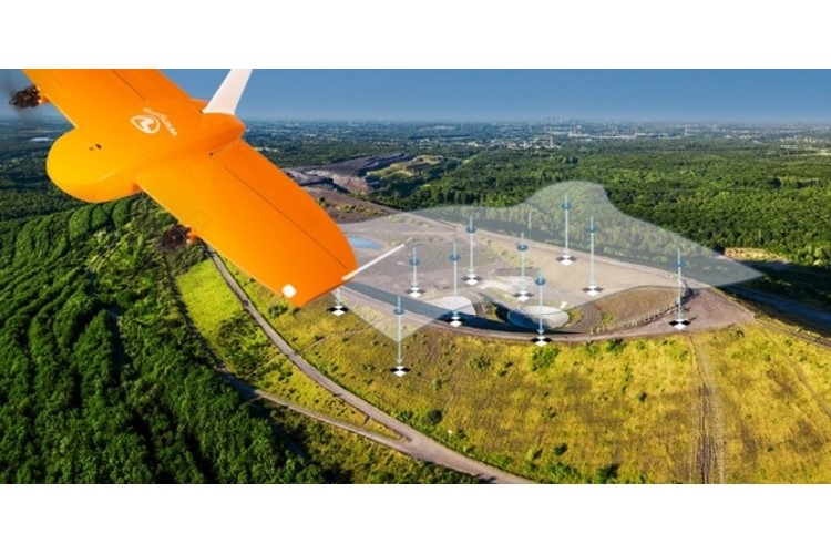
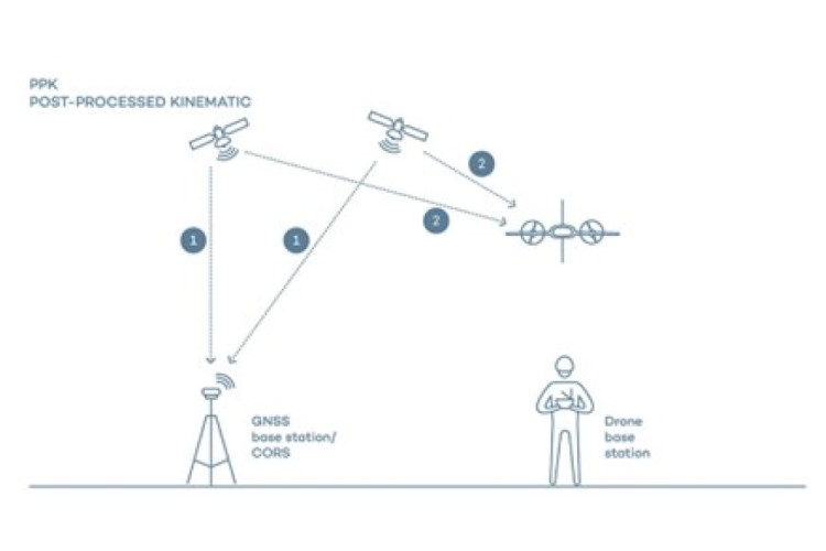
Is there any alternative way for users to get a high-accuracy coordinates aerial image? The answer is “PPK – Post-Processing Kinematic” in which the UAV must have the GNSS receiver installed. The workflow is while the UAV is flying over the area of interest, the GNSS receiver is also logging the GNSS epoch (GNSS log file). When the flight finishes, users just bring this GNSS log file from the UAV to process with the GNSS log file downloaded from the GNSS Base station on the control point or downloaded from the GNSS network. This PPK method is much faster than placing the mark for GCP.
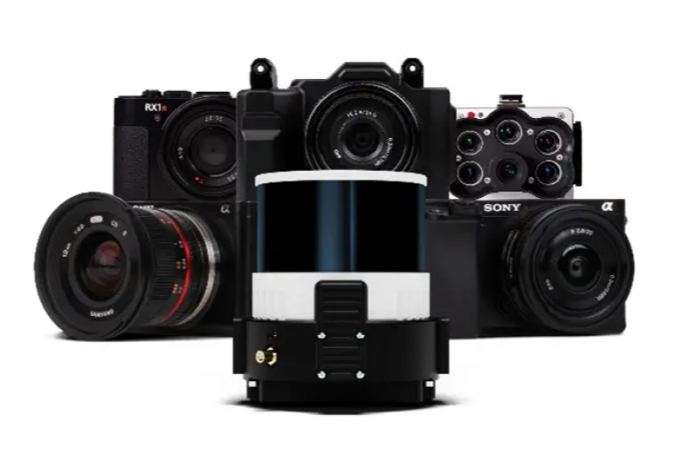
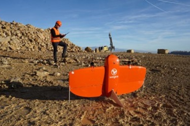
If you are spending a lot of time on placing the GCP and looking for the PPK UAV for high-accuracy aerial mapping, WingtraOne GENII Vertical Take-Off and Landing (VTOL) UAV is the best choice. There are many payloads for you to choose to suit each application – RGB, LiDAR, Oblique, RedEdge, etc.
Is there any alternative way for users to get a high-accuracy coordinates aerial image? The answer is “PPK – Post-Processing Kinematic” in which the UAV must have the GNSS receiver installed. The workflow is while the UAV is flying over the area of interest, the GNSS receiver is also logging the GNSS epoch (GNSS log file). When the flight finishes, users just bring this GNSS log file from the UAV to process with the GNSS log file downloaded from the GNSS Base station on the control point or downloaded from the GNSS network. This PPK method is much faster than placing the mark for GCP.
If you are spending a lot of time on placing the GCP and looking for the PPK UAV for high-accuracy aerial mapping, WingtraOne GENII Vertical Take-Off and Landing (VTOL) UAV is the best choice. There are many payloads for you to choose to suit each application – RGB, LiDAR, Oblique, RedEdge, etc.