





3D Laser Scanning is transforming the world of surveying.
3D Laser Scanning is transforming the world of surveying.
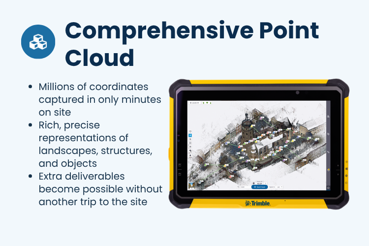
Moving away from time-consuming and labor-intensive field data collection, today's 3D Laser Scanning technology can capture spatial data rapidly, generating high-resolution Point Clouds from massive datasets.
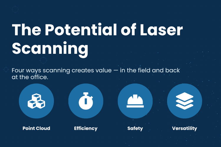
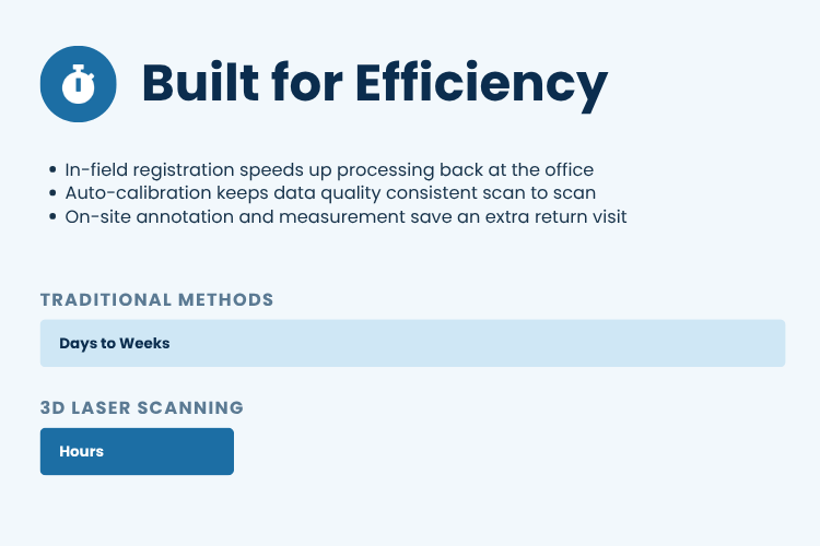
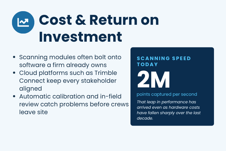
Faster — Captures millions of data points in a fraction of the time.
Detailed & Comprehensive — Captures entire spatial areas rather than just specific individual points.
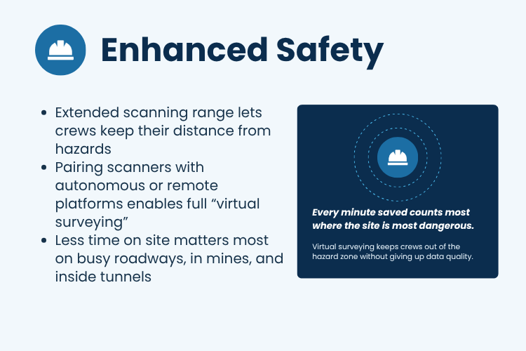
Safer — Reduces the need for personnel to operate in hazardous environments such as mines or tunnels.
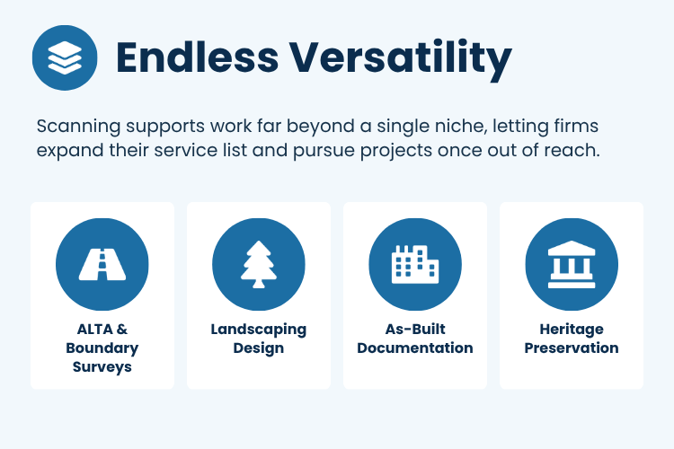
Highly Versatile — Applicable across various fields, from surveying, construction, and As-Built modeling, to building conservation and historical heritage preservation.
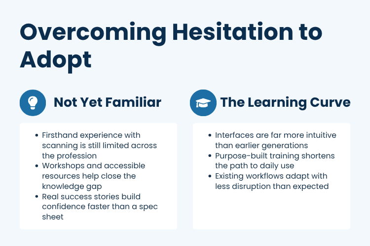
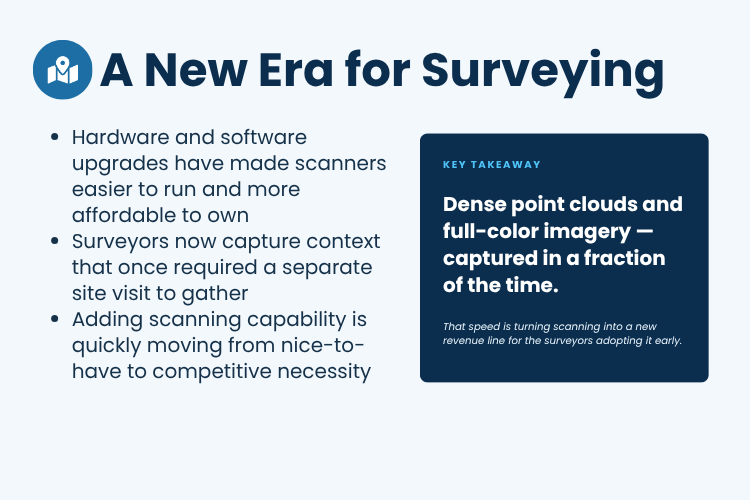
Moreover, modern hardware and software technologies have become more user-friendly, highly efficient, and increasingly accessible. This makes 3D Laser Scanning a vital technology for surveyors and businesses looking to boost their competitive edge.
Because of this, the future of surveying is no longer just about capturing individual "points," but about capturing "entire spatial environments" for limitless possibilities.
#Trimble #3DLaserScanning #LaserScanning #3DScanning #PointCloud #Surveying #SurveyTechnology #LandSurvey #Engineering #Construction #DigitalSurvey #3DTechnology #งานสำรวจ #เทคโนโลยีสำรวจ
Moving away from time-consuming and labor-intensive field data collection, today's 3D Laser Scanning technology can capture spatial data rapidly, generating high-resolution Point Clouds from massive datasets.
Faster — Captures millions of data points in a fraction of the time.
Detailed & Comprehensive — Captures entire spatial areas rather than just specific individual points.
Safer — Reduces the need for personnel to operate in hazardous environments such as mines or tunnels.
Highly Versatile — Applicable across various fields, from surveying, construction, and As-Built modeling, to building conservation and historical heritage preservation.
Moreover, modern hardware and software technologies have become more user-friendly, highly efficient, and increasingly accessible. This makes 3D Laser Scanning a vital technology for surveyors and businesses looking to boost their competitive edge.
Because of this, the future of surveying is no longer just about capturing individual "points," but about capturing "entire spatial environments" for limitless possibilities.
#Trimble #3DLaserScanning #LaserScanning #3DScanning #PointCloud #Surveying #SurveyTechnology #LandSurvey #Engineering #Construction #DigitalSurvey #3DTechnology #งานสำรวจ #เทคโนโลยีสำรวจ