


Lectures at the Department of Civil Engineering, Faculty of Engineering, Kasetsart University.
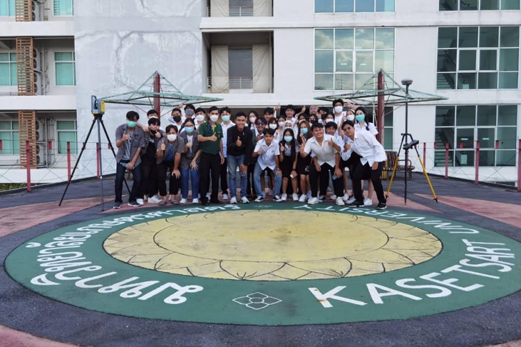
We are honored to be invited to give lectures at the Department of Civil Engineering, Faculty of Engineering, Kasetsart University.
The lectures were divided into 2 parts:
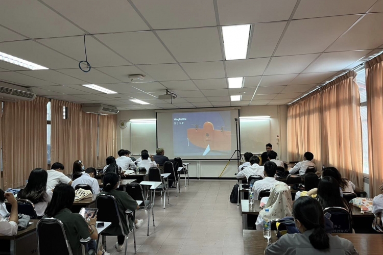
1st Part: Lecture in class beginning with basic GNSS Surveying Theory and how to use it to enhance the accuracy of aerial imaging from Unmanned Aerial Vehicle (UAV) to generate aerial mapping through aerial photogrammetry. Furthermore, we also presented the Trimble X7 3D Laser Scanner, which can be the best tool for surveyors to collect data in a 3D model such as buildings, pipelines, power plants, tunnels, bridges, etc. with an easier, faster, and more precise solution.
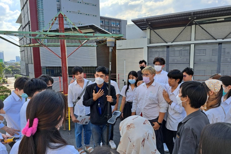
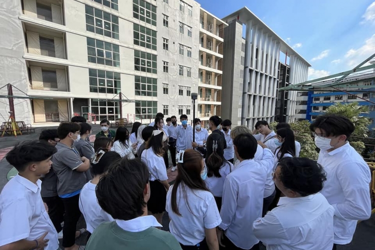
2nd Part: Trimble R10 hands-on for the students to practice how to collect a topographic map, stakeout, high-precision control points from static surveying, and other functions in the software that will be useful for them in the future.
The lectures were divided into 2 parts:
1st Part: Lecture in class beginning with basic GNSS Surveying Theory and how to use it to enhance the accuracy of aerial imaging from Unmanned Aerial Vehicle (UAV) to generate aerial mapping through aerial photogrammetry. Furthermore, we also presented the Trimble X7 3D Laser Scanner, which can be the best tool for surveyors to collect data in a 3D model such as buildings, pipelines, power plants, tunnels, bridges, etc. with an easier, faster, and more precise solution.
2nd Part: Trimble R10 hands-on for the students to practice how to collect a topographic map, stakeout, high-precision control points from static surveying, and other functions in the software that will be useful for them in the future.