


WingtraOne training for Royal Forestry Department at Suphan Buri
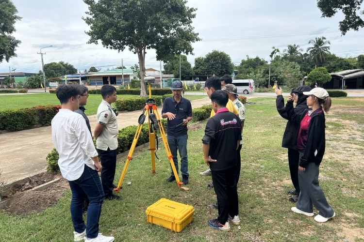
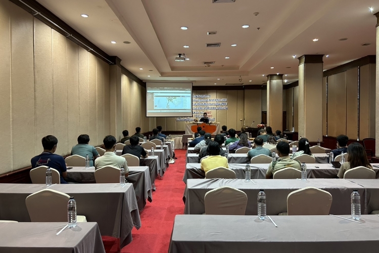
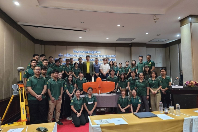
On 24th – 26th July 2024, our Survey Instruments Division was honored to be speakers in WingtraOne Gen ll - Unmanned Aerial Vehicles (UAV) for aerial photography mapping and Trimble R8s GNSS satellite receiver training course for Royal Forest Department officers at Suphan Buri.
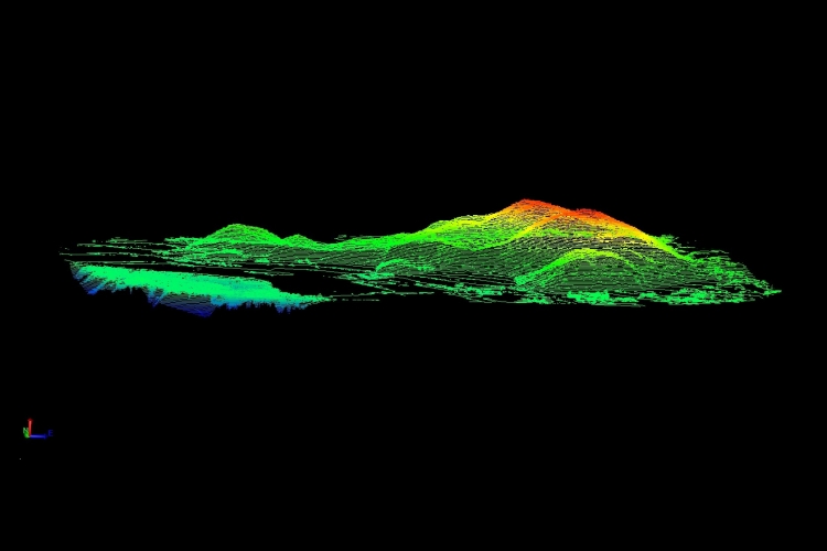
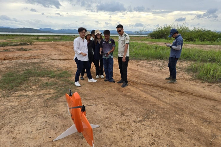
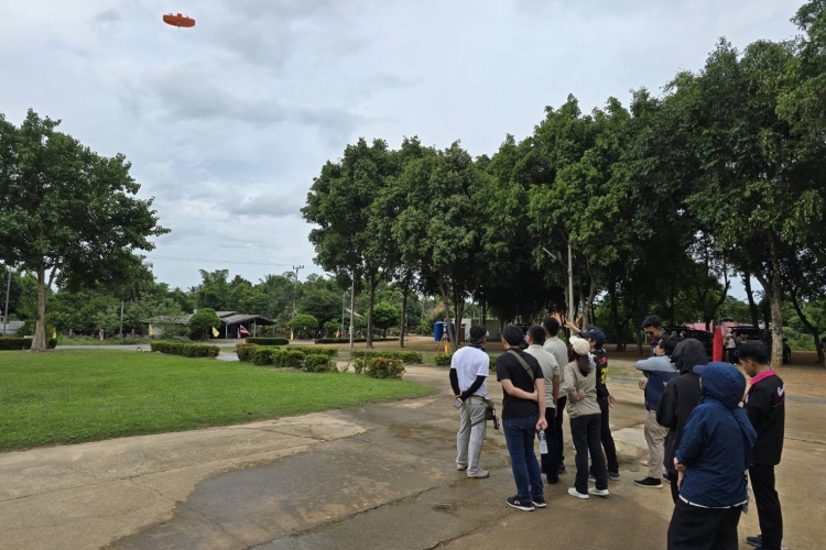
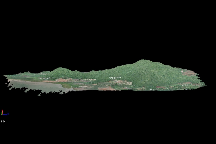
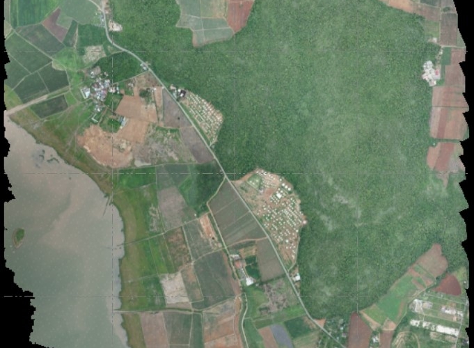
Royal Forestry Department officers got the close hands-on practice of WingtraOne Gen ll in the field and also learned how to process aerial photos and generate the data in Orthoimage, DSM, DEM, and also high accuracy point cloud. These data are beneficial for further analysis and forest and land use management.
Royal Forestry Department officers got the close hands-on practice of WingtraOne Gen ll in the field and also learned how to process aerial photos and generate the data in Orthoimage, DSM, DEM, and also high accuracy point cloud. These data are beneficial for further analysis and forest and land use management.