


- News
- "Wingtra Demo Day" at Thammasat University, Rangsit Campus

"Wingtra Demo Day" at Thammasat University, Rangsit Campus
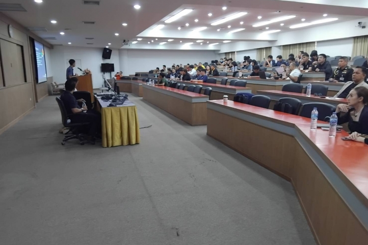
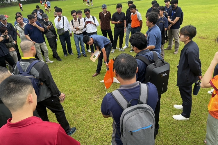
On September 4, 2024, our Surveying Instruments Division organized a seminar titled "Wingtra Demo Day" at Thammasat University, Rangsit Campus. The event included presentations and demonstrations by our product specialist and distinguished international speakers. Over 100 attendees from both the public and private sectors participated.
The first part of the event consisted of lectures covering the principles of LiDAR Technology in aerial photography, the components and features of the equipment, and the benefits and limitations of using LiDAR Technology for aerial surveys.
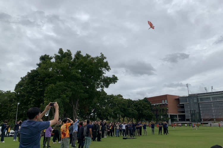
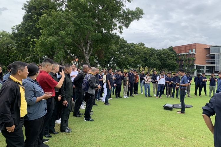
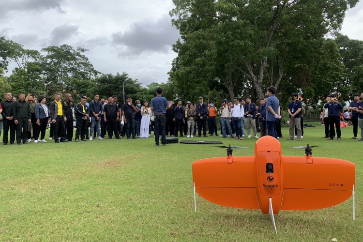
In the following session, the speakers conducted a field demonstration, showing how to install the LiDAR payload, set up configurations before starting the flight, safety checklists, and process the collected data. The data gathered from the demonstration flight was highly detailed and accurate, enabling the classification of various terrain features, such as trees and utility poles.
Drone LiDAR Technology is a growing innovation offering enhanced accuracy and speed in surveying and spatial analysis. This technology is suitable for a wide range of selections in industries, including construction, natural resources management, research and development, and Digital Terrain Model (DTM) and Digital Surface Model (DSM) data collection.