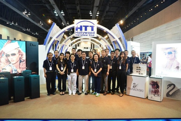
Wingtra One

WingtraOne Professional Surveying and Mapping Drone
Redefining standards in aerial surveying with unprecedented data quality, the WingtraOne enables much faster surveys, more reliable map reconstruction and more precise results than other commercial drones.
VTOL: Vertical Take-Off & Landing
400+ ha: Map up to (988 ac) in a one-hour flight
Down to: 0.7 cm/px GSD
Take off and land like a helicopter, fly like an airplane
Vertical Take-Off and Landing (VTOL) capability allows the WingtraOne mapping drone to ascend and move like a helicopter. For the UAV survey mission, it transitions into a forward cruise flight, matching the endurance and speed of fixed-wing UAVs. In order to land, the WingtraOne switches back to hover flight and descends vertically.
Mapping large areas has never been this easy
Vast forests, mountain ranges and even the biggest mines in the world can be mapped in just a few hours’ time. This makes WingtraOne literally the only drone that can perform large projects once only possible with manned aircraft.


Survey-Grade Drone Photogrammetry
Best-in-class equipment for the most precise results
WingtraOne PPK sets the new benchmark for drone survey equipment. Thanks to its professional drone PPK GNSS L1/L2 receiver and highest-quality cameras like the 42 MP full-frame Sony RX1Rll camera, it is now possible to reach down to 1 cm (0.4 in) absolute accuracy with an aerial survey drone.