


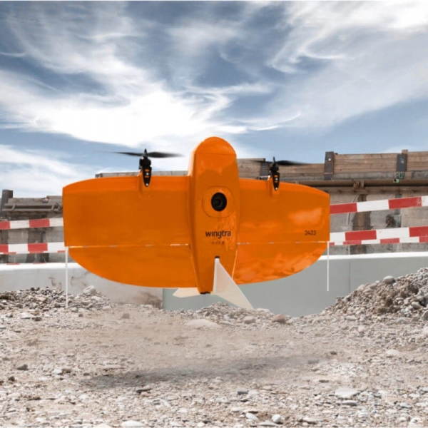

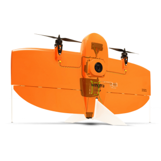
WingtraOne Gen ll
Map Faster
- WingtraOne’s unique set of features empowers you to minimize your time flying and get more work done, be it another project in the field or analyzing your data at the office.
- Efficient fixed-wing flight that can fly at 16 m/s (36 mph) for up to 59 minutes per flight for large coverage.
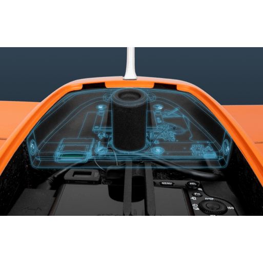
- 42 MP Camera - WingtraOne can fly higher than drones limited to 20 MP cameras, so you capture more ground and more detail with every picture and a larger area per flight.
- No more GCPs, checkpoints only - with an onboard high-precision PPK GNSS receiver you no longer need to lay out Ground Control Points (GCPs). Use as few as three checkpoints to verify your map quality.
- Lower image overlaps - with the High-quality optics mean you can reconstruct your map reliably even with lower overlaps. That means more new ground covered per flight line and maximum coverage power flight.
Map Larger
- Whether it’s a highway, an industrial complex, or a mine, you can now take on large projects that were previously impossible to map with a drone. And it takes you just a few hours.
- Maximum coverage with one flight - at 1.2 cm/px (0.5 in/px) GSD – with WingtraOne RX1R ll can cover the area around 110 hectares.
Map Anywhere
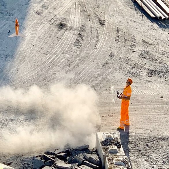
- Thanks to its VTOL design, WingtraOne can take off and land almost anywhere—even in confined spaces or on rough terrain. This enables you to collect data where other drones cannot.
- WingtraOne’s unique set of features empowers you to minimize your time flying and get more work done, be it another project in the field or analyzing your data at the office.
- Efficient fixed-wing flight that can fly at 16 m/s (36 mph) for up to 59 minutes per flight for large coverage.
- 42 MP Camera - WingtraOne can fly higher than drones limited to 20 MP cameras, so you capture more ground and more detail with every picture and a larger area per flight.
- No more GCPs, checkpoints only - with an onboard high-precision PPK GNSS receiver you no longer need to lay out Ground Control Points (GCPs). Use as few as three checkpoints to verify your map quality.
- Lower image overlaps - with the High-quality optics mean you can reconstruct your map reliably even with lower overlaps. That means more new ground covered per flight line and maximum coverage power flight.
Map Larger
- Whether it’s a highway, an industrial complex, or a mine, you can now take on large projects that were previously impossible to map with a drone. And it takes you just a few hours.
- Maximum coverage with one flight - at 1.2 cm/px (0.5 in/px) GSD – with WingtraOne RX1R ll can cover the area around 110 hectares.
Map Anywhere
- Thanks to its VTOL design, WingtraOne can take off and land almost anywhere—even in confined spaces or on rough terrain. This enables you to collect data where other drones cannot.
Related Products
-
GOSLAM T100i Pro
-

Trimble TDC6
-
 Hot
HotTrimble R780 GNSS
-
 New
NewTrimble R980 GNSS
-
 New
NewTrimble DA2 Antenna
-
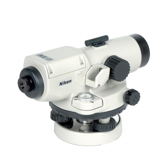
AE-7C Automatic Level
-
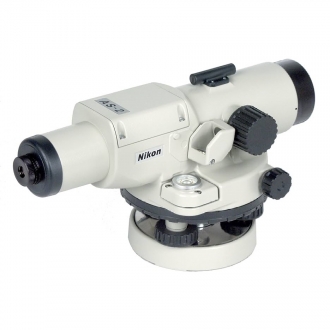
AS-2C Automatic Level
-
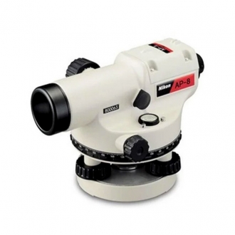
AP-8 Automatic Level
-
Trimble® Pivot® Platform
-
Trimble Zephyr Geodetic 3 Ante…
-
Trimble GNSS-Ti v2 Choke Ring …
-
Trimble RTX correction service
-
GL612 Grade Laser
-

GL612 Grade Laser
-
Prism Target
-
Levelling Staffs
-
Trimble SiteVision
-
Trimble X9 3D Laser Scanner
-
 New
NewTrimble X12 Laser Scanning Sys…
-
Trimble SX12 Scanning Total St…
-
Trimble TSC710
-
 New
NewTrimble TSC510 Controller
-
 New
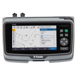
NewTrimble TCU5 Controller
-
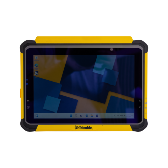
Trimble T110 Tablet
-
 New
NewWingtraOne Gen ll
-
 New
NewTrimble MX 50 Mobile Mapping S…
-
Trimble Tornado Antenna
-

Trimble® Positions™ Desktop
-
Trimble TerraFlex
-
Trimble Nomad 5 Handheld
-

Trimble Penmap
-
Trimble SiteVision
-

Trimble Alloy GNSS Reference r…
-
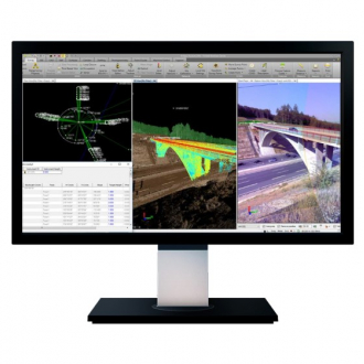
Trimble Business Center
-
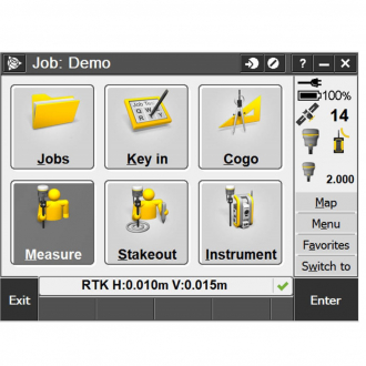
Trimble Access Software
-
Trimble Dini digital level
-
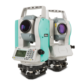
Nikon NE-101 Theodolite
-
 Hot
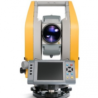
HotNikon N Total Station
-
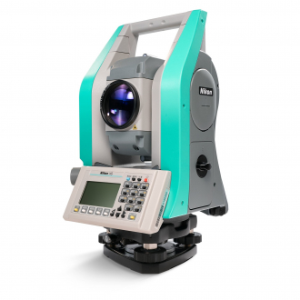
Nikon XS Total Station
-
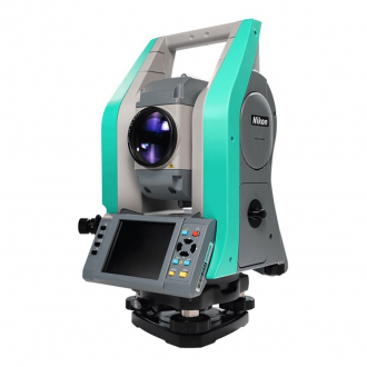
Nikon XF Total Station
-
Trimble C5 Total Station
-
Trimble S5 Robotic Total Stati…
-
Trimble S7 Robotic Total Stati…
-
Trimble S9 Robotic Total Stati…