


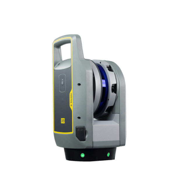
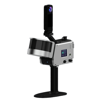
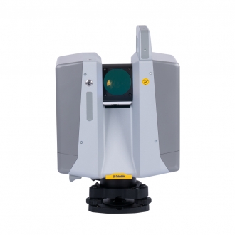
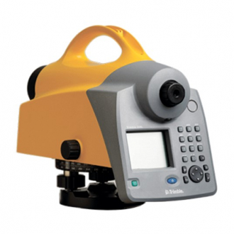
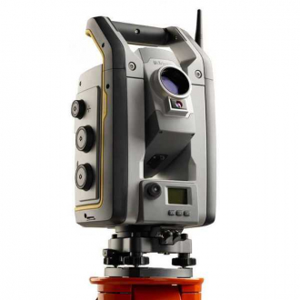
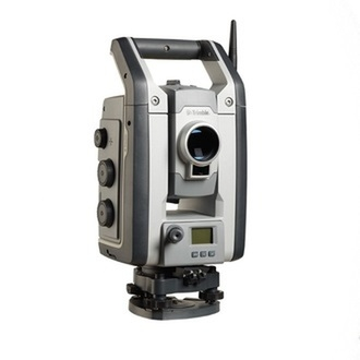
Trimble X9 3D Laser Scanner
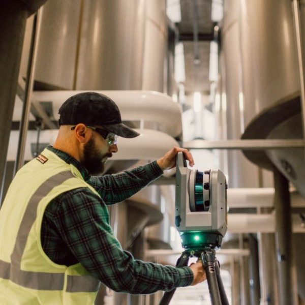
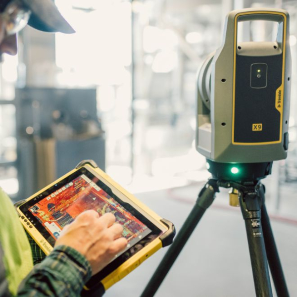
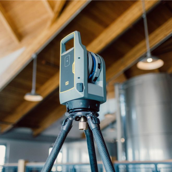
Trimble X9 is a high-performance 3D laser scanning system and a proud Gold Winner at the 2024 NY Design Awards. It is specially engineered to transform field survey workflows, making them easier, more flexible, and far more productive than ever before. A standout benefit of this system is its exceptional operational flexibility, giving users the freedom to control tasks wirelessly via a smartphone, tablet, or through a simple one-button workflow directly on the device. It features an intelligent smart auto-calibration and survey-grade self-leveling system that significantly minimizes time spent in the field and reduces human error. Additionally, its high-sensitivity EDM technology allows operators to effortlessly capture dark or highly reflective surfaces with speed and precision. When combined with powerful field software, the system easily processes and automatically registers scan data, allowing for seamless quality validation right at the project site.
Technical Specifications of Trimble X9
Scanning Performance
-
Laser Class: Features a Class 1 eye-safe laser in accordance with IEC EN60825-1, operating at an invisible wavelength of 1530–1570 nm
. -
Field of View: Provides a wide coverage of 360° horizontally x 282° vertically
. -
Scan Speed: Offers configurable speeds, with the Core mode operating at 500 kHz and the Premium mode reaching up to 1,000 kHz
. -
Scanning Range: Provides a flexible working range of 0.6–40 meters for Core LT, 0.6–80 meters for Core, and up to 0.6–150 meters for the Premium mode
. -
High-Sensitivity EDM: Optimised to rapidly capture challenging environments, including dark surfaces like asphalt and reflective surfaces like stainless steel
.
Scanning Accuracy
-
Range Accuracy: Delivers a reliable distance precision of 2 mm, which is fully guaranteed over the instrument's lifetime via the auto-calibration system
. -
Angular Accuracy: Offers professional precision with an angular accuracy of less than 16 arcseconds (<16")
. -
3D Point Accuracy: Reaches a high precision of 2.3 mm at 10 meters, 3.0 mm at 20 meters, and 4.8 mm at 40 meters
. -
Range Noise: Keeps data exceptionally clean with range noise of less than 1.5 mm at a distance of 30 meters
.
Imaging Performance
-
Camera Sensors: Equipped with 3 coaxial, pre-calibrated 10 MP cameras
. -
Image Resolution: Captures sharp visual data with a resolution of 3840x2746 pixels per individual image
. -
Capture Speed: The Fast mode takes 15 images (158 MP) in 1 minute (3 minutes with HDR), while the Quality mode takes 30 images (316 MP) in 2 minutes (6 minutes with HDR)
. -
Camera Features: Includes Auto Exposure, High Dynamic Range (HDR), Auto White Balance correction, and presets tailored for both indoor and outdoor environments
.
Leveling & Calibration
-
Automatic Self-Leveling: Features survey-grade automatic self-leveling with a wide compensation range of ±10°, a coarse range of ±45°, and supports upside-down operations up to +10°
. -
Leveling Accuracy: Delivers survey-grade precision of less than 3 arcseconds (<3"), which equals 0.3 mm at a distance of 20 meters
. -
Auto-Calibration: Fully automates the calibration of both range and angular systems without requiring user interaction or physical targets, while Smart Calibration constantly monitors temperature, ambient light, and system vibrations
.
Physical & Power Specifications
-
Weight & Dimensions: The instrument weighs 6.045 kg including the internal battery, with physical dimensions of 178 mm (W) x 353 mm (H) x 170 mm (D)
. -
Power Supply: Operates on a rechargeable Li-Ion battery (11.1V, 6.5Ah) that runs for approximately 3.5 hours per battery, with 3 batteries included in the standard package
. -
Environmental Protection: Boasts a robust IP55 rating for dust and water jet protection, and operates reliably in extreme temperatures ranging from -20 °C to +50 °C
.
Connectivity & Data Storage
-
Laser Pointer: Features a Class 2 laser pointer (620–650 nm wavelength) for precise single-point measurements and georeferencing
. -
Control & Communication: Supports wireless remote control via the Trimble T10x tablet or comparable Windows 10/11 devices over WLAN 802.11 A/B/G/N/AC or a USB cable, along with a quick one-button scan operation on the unit
. -
Data Storage: Saves data onto a standard SD card slot, with a 32 GB SDHC card included in the standard kit
. -
Supported File Formats: Offers high compatibility across software platforms, supporting exports to TDX, TZF, E57, PTX, RCP, LAS, and POD formats
.
Related Products
-
GOSLAM T100i Pro
-

Trimble TDC6
-
 Hot
HotTrimble R780 GNSS
-
 New
NewTrimble R980 GNSS
-
 New
NewTrimble DA2 Antenna
-
AE-7C Automatic Level
-
AS-2C Automatic Level
-
AP-8 Automatic Level
-

Trimble® Pivot® Platform
-
Trimble Zephyr Geodetic 3 Ante…
-
Trimble GNSS-Ti v2 Choke Ring …
-

Trimble RTX correction service
-
GL612 Grade Laser
-

GL612 Grade Laser
-
Prism Target
-
Levelling Staffs
-
Trimble SiteVision
-
Trimble X9 3D Laser Scanner
-
 New
NewTrimble X12 Laser Scanning Sys…
-
Trimble SX12 Scanning Total St…
-
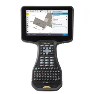
Trimble TSC710
-
 New
NewTrimble TSC510 Controller
-
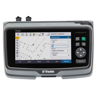 New
NewTrimble TCU5 Controller
-
Trimble T110 Tablet
-
 New
NewWingtraOne Gen ll
-
 New
NewTrimble MX 50 Mobile Mapping S…
-
Trimble Tornado Antenna
-

Trimble® Positions™ Desktop
-
Trimble TerraFlex
-
Trimble Nomad 5 Handheld
-

Trimble Penmap
-
Trimble SiteVision
-

Trimble Alloy GNSS Reference r…
-
Trimble Business Center
-
Trimble Access Software
-
Trimble Dini digital level
-
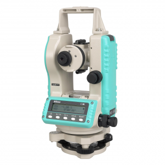
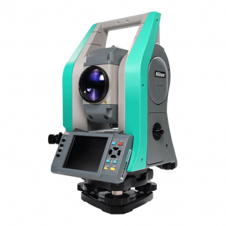
Nikon NE-101 Theodolite
-
 Hot
HotNikon N Total Station
-
Nikon XS Total Station
-
Nikon XF Total Station
-
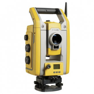
Trimble C5 Total Station
-
Trimble S5 Robotic Total Stati…
-
Trimble S7 Robotic Total Stati…
-
Trimble S9 Robotic Total Stati…